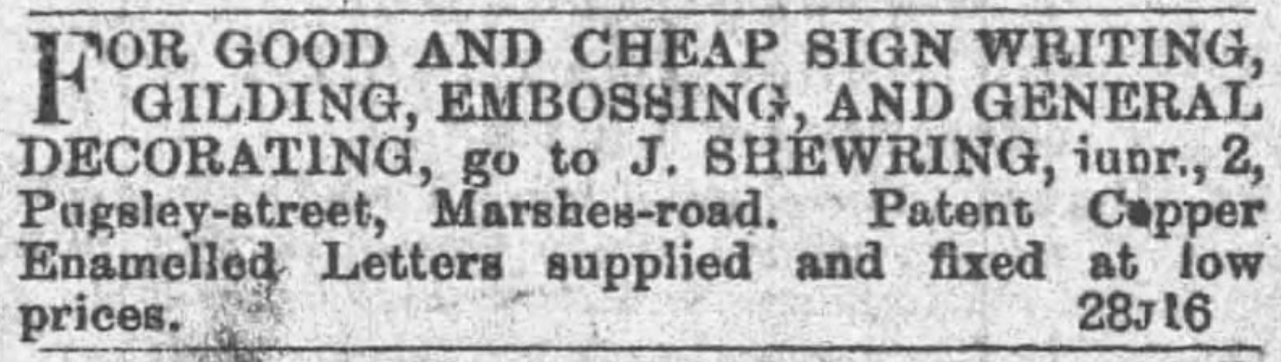
STREET SURVEY • CRINDAU QUARTER • CADASTRE REF: CRIN-STR-044
Active Ledger
Pugsley Street
Late-Victorian residential terrace housing industrial labourers.
TOPOGRAPHICAL CONTEXT & HISTORY
The Industrial Artery of the Crindau Marsh
Laid out during the late nineteenth century to establish east-west transit between Malpas Road and the River Usk wharves, Albany Street served as the central axis of the Crindau district. Extending approximately 450 yards from west to east, the thoroughfare cut directly through former manorial pastures, physically separating the dense artisan residential terraces to the north from the heavy industrial plants flanking the Great Western Railway spur and riverbank to the south.
Throughout its prime survey span from the late 1880s into the interwar years, the street housed a continuous mixture of residential tenancies, corner grocery stores, and workshops. The address ledger reflects direct employment links to neighbouring anchors, with long runs of dwellings inhabited by locomotive drivers, gas retorters, sweet boilers from Lovell's, and glassblowers from the South Wales Glass Works.
STREETSCAPE & CARTOGRAPHY
Archival Views & Plot Surveys
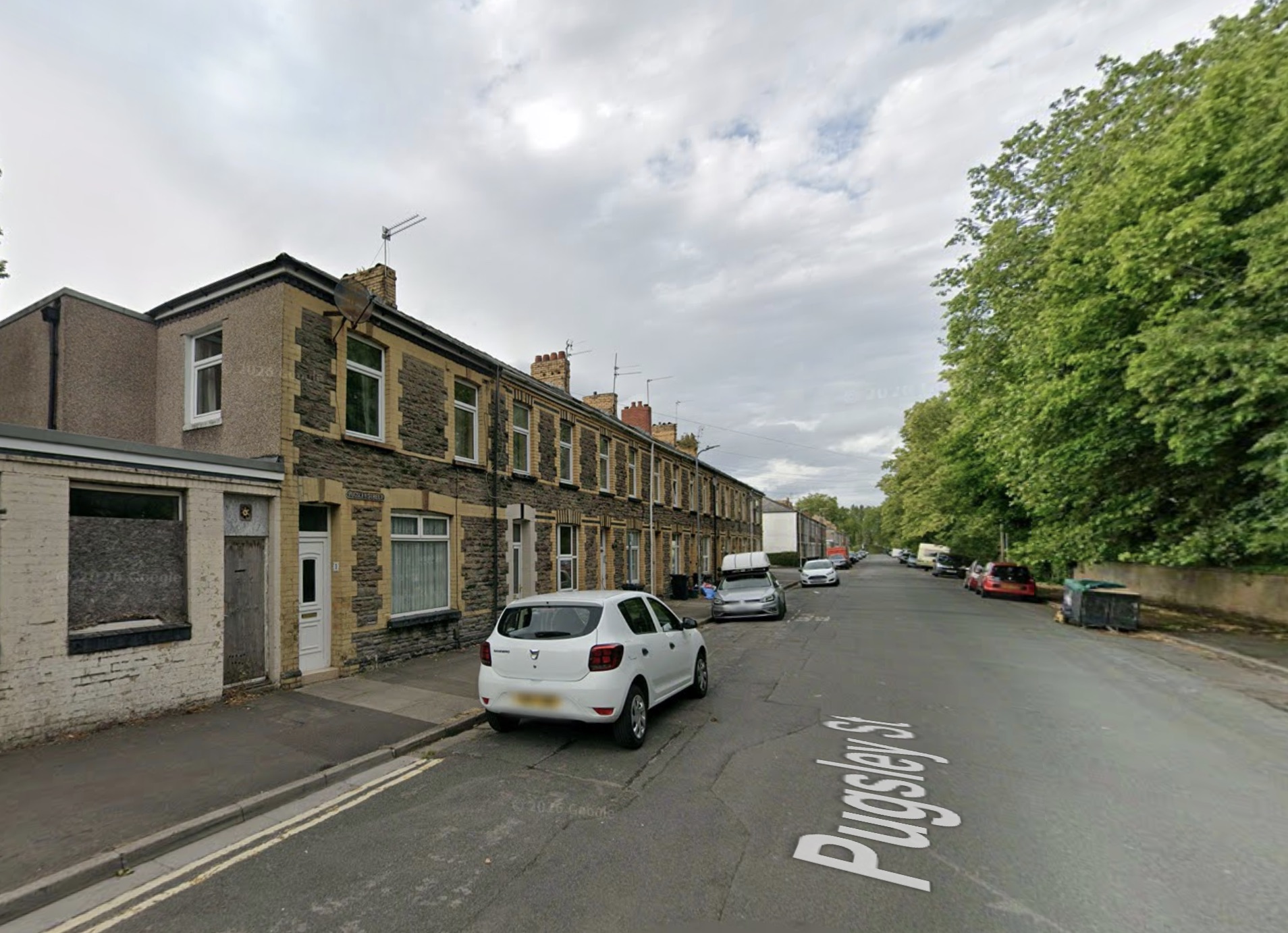
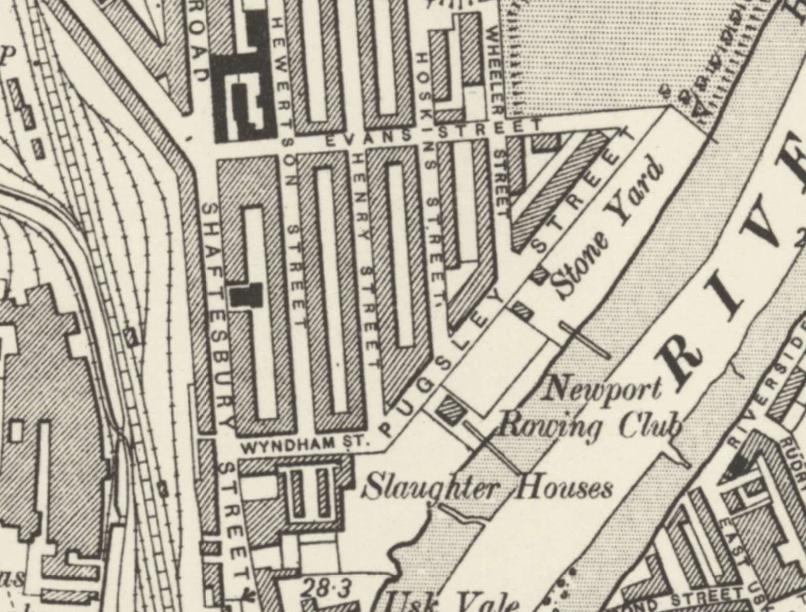
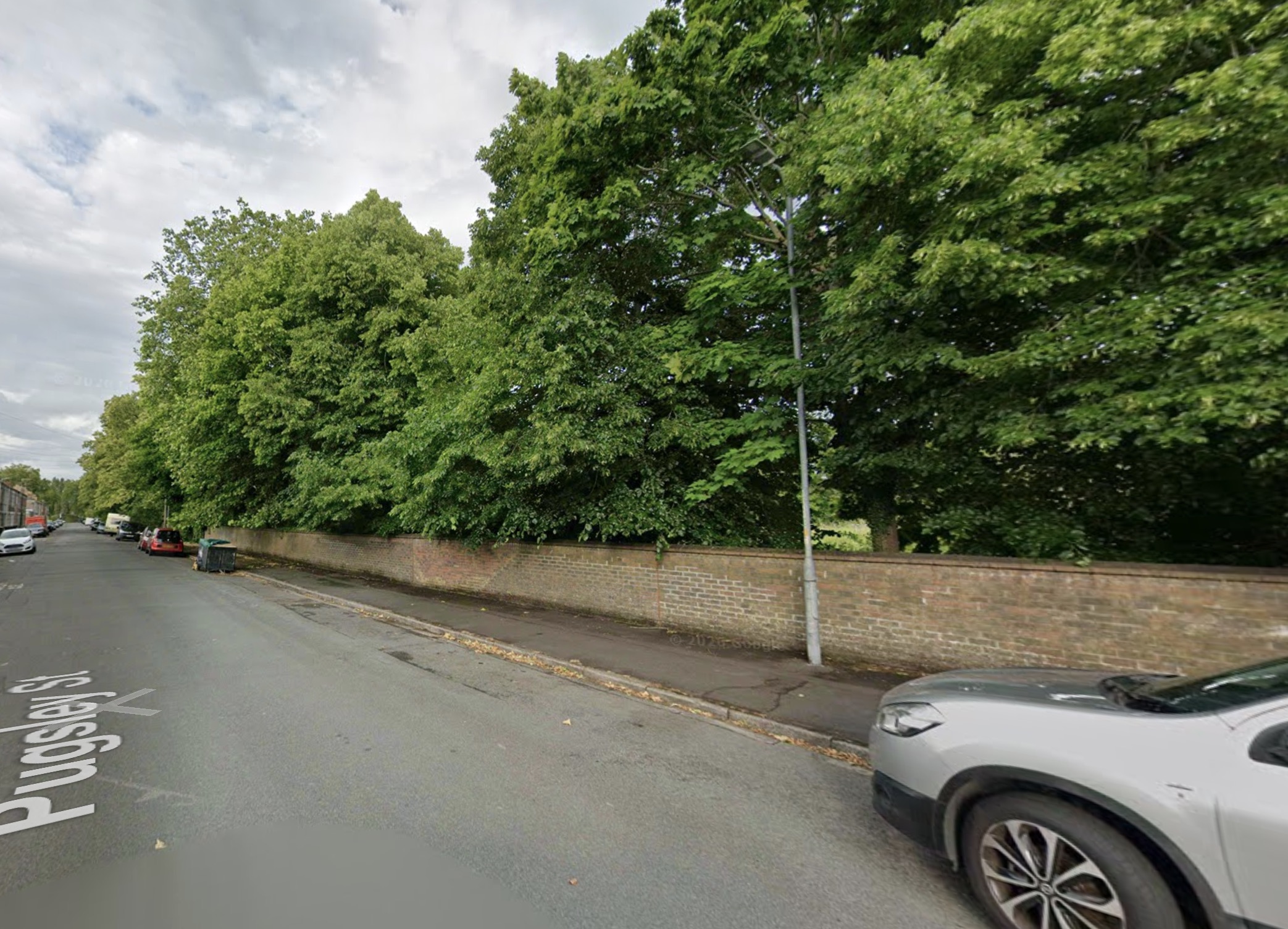
COMMERCE, TRADES & CLASSIFIEDS
Notices & Advertisements
SITUATIONS VACANT
WANTED, smart youth for light delivery work; must know the district well. Apply after 6 p.m., 4 Pugsley Street.
LOST & FOUND
STRAYED, black and white terrier pup, answers to "Bob". Reward paid on return to 22 Pugsley-st.
| Year | Plot / No. | Occupant or Firm | Recorded Occupation | Premises / Archival Note |
|---|